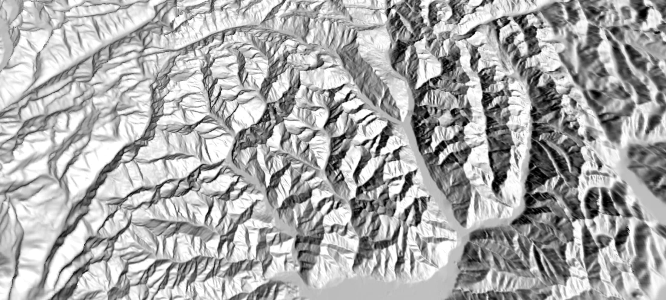
Terrain at 10 m, and 2 m when you zoom in
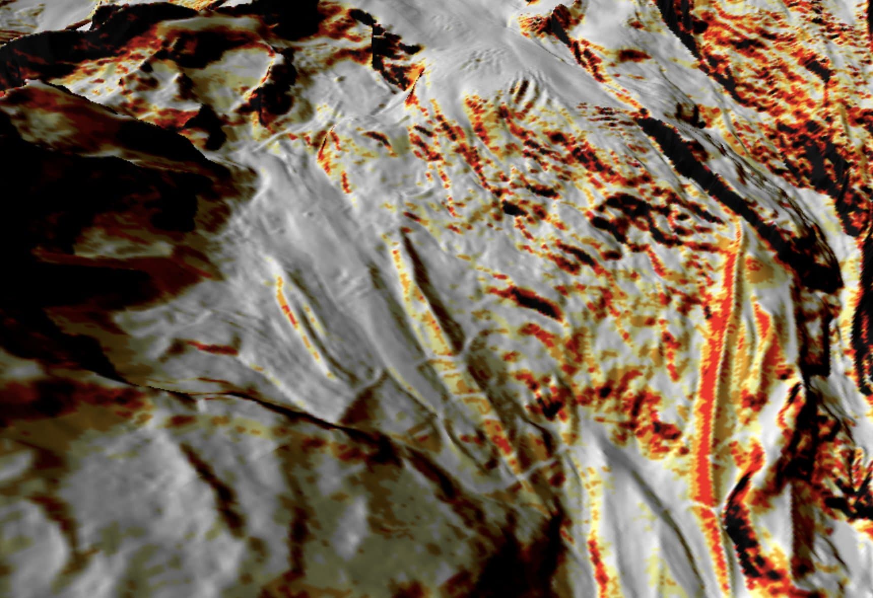
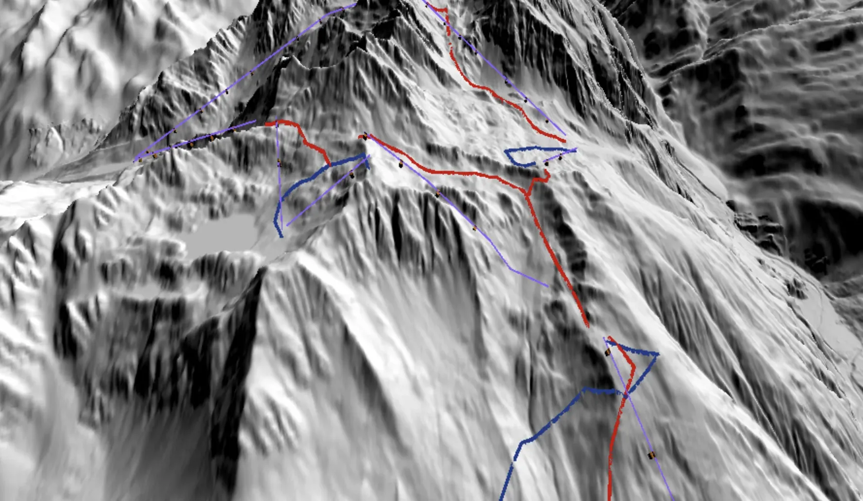
The map is built from 10 m terrain for Switzerland, Austria, France and Italy, with 30 m Copernicus data in the remaining gaps. Zoom in over Switzerland, Austria or France and a button loads 2 m terrain, so short steep steps and rolls show up. Rotate, tilt and zoom to look at a face from the angle that matters for your line; contour lines and a winter relief base map with a snow-line slider are there when you want them.