Saalbach
AT> 30°30%
> 35°13%
> 40°4%

Your lifts, pistes, huts and restaurants on the real terrain, with slope angle, your official freeride objects and the avalanche bulletin for your region, in your branding. For the guests who find a painted piste map hard to read, and for the freeriders who now get your information from a PDF.
The images on this page come from our pipeline as it runs today. What we deliver is higher in quality and detail.
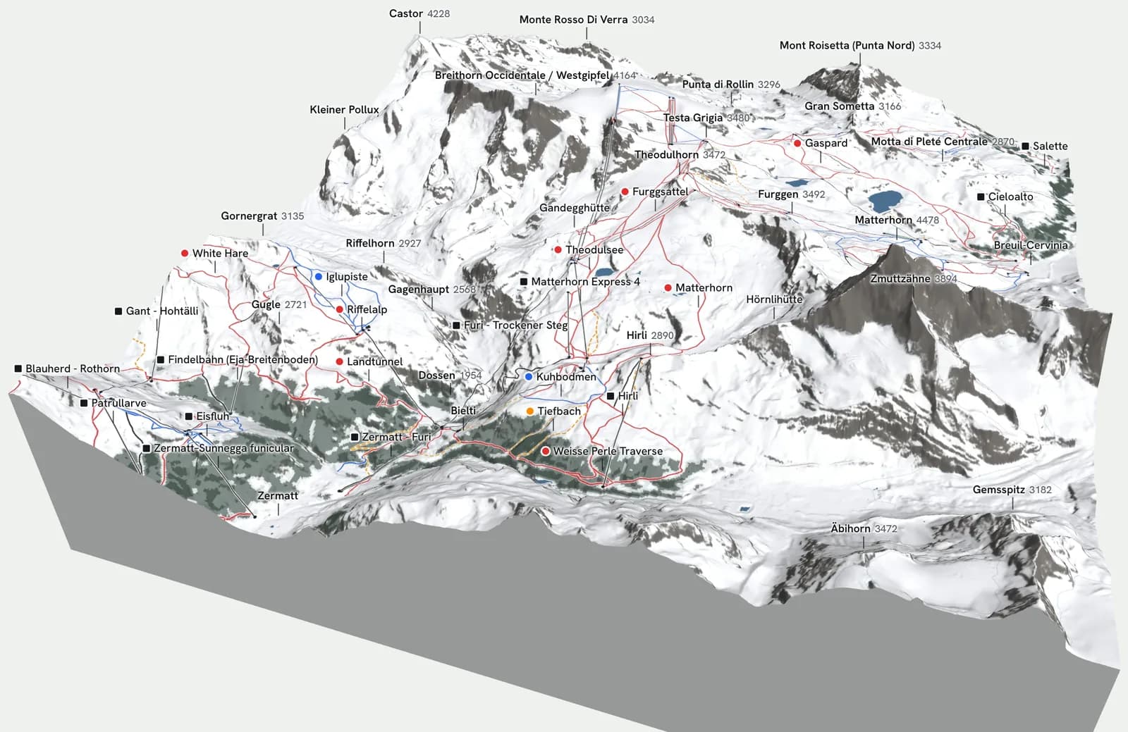
Saalbach, Sölden, St. Anton, Zermatt, Chamonix and Val d'Isère, exported from the BEYOND map on 18 October 2026. In 3D a guest sees which lift goes where, how the pistes run between the peaks and where the huts are; a painted piste map flattens all of that. The same block can also go on a guest's own phone, as a page that works without a connection and shows where they are from the phone's GPS. Click an area to turn it in 3D, with slope angle and aspect. The map we build for your area has a higher resolution than these exports, and we set its look, names and layers with you.
The map as it comes out of the app today, built out for your area. In the pilot:
Lifts, pistes, huts and restaurants on the real terrain in 3D, opening on your area, on a page of your own site, with your logo and colours around it.
Itineraries, freeride zones, checkpoints and info points, from your data, in your categories and your wording.
Open and closed on the map, from the status feed you already run. Open lifts turn.
The current bulletin for your region, linked to the original.
How many guests open the map, for how long, and how often they open the bulletin.
Viewpoints, the way back to a lift, a themed route, each as a line or a pin that guests can switch on.
Each piste coloured by its steepness per 100 m, so a blue run with one short black pitch shows that pitch before guests are on it.
The same map inside your resort app.
It works next to what you already have: keep your piste map supplier, your app and your CMS. The map goes on one page of your site, and your app can link to it.
The map shows terrain and the official forecast as information. It doesn't recommend lines and it doesn't rate slopes.
| Country | What the rules say | What that means on your map |
|---|---|---|
| Austria | Skirouten are part of the organised ski area and have to be secured against alpine dangers. | Only your own Skirouten are called Skirouten. Everything outside the organised ski area is labelled as free terrain. |
| Switzerland | Free terrain is not secured against alpine dangers (SBS guideline). A ski area's safety concept includes making sure information reaches guests (SLF, 2025). | Terrain and the SLF bulletin as information, next to your signs and warning lights. |
| France | The mayor informs about avalanche risk outside open, marked pistes "par tous les moyens appropriés". | The bulletin and the terrain on your own site, as one more of those means. |
| Italy | Operators display the avalanche bulletins every day with maximum visibility (D.Lgs. 40/2021, art. 26). | The regional bulletin in a panel on the map, next to the terrain it describes. |
For season 26/27 three resorts pay what the map costs us to run for their area, nothing on top. We quote that after the demo.
The map is on your site before the season starts.
We look at the first numbers with you and adjust.
Usage over the season, timed for your year-end.
You decide whether to continue as a paid season.
This is our first pilot season, so there is no logo wall. What we can show is the two of us and where the data comes from.

Mechanical engineer from TU Eindhoven, with a master's in fluid dynamics. A year on InMotion, the TU Eindhoven student team that builds electric race cars. Built BEYOND's map and the 3D engine behind it; now also building a battery-modelling startup.
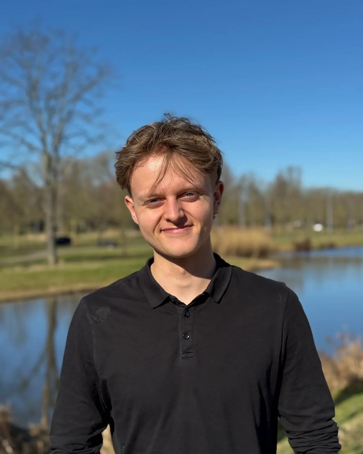
Economics at Erasmus University Rotterdam, with a master's in marketing. Built an EQ solution for schools and his own web design and marketing agency before BEYOND; now also building an AI tutor for children.
Both of us are certified snowboard instructors. We ride the terrain we map, and we build and fix the map ourselves: you talk to the two of us, not to a support desk.
A demo of your own area within a week, your safety lead approving the layers and the wording before anything goes live, and a review of the first numbers with you in February.
In the Netherlands, in the Alps several times a year. Demos and the pilot run by video call; we come by for the kick-off when that helps.
Open it and look at your own area before you talk to us. Open the map
Bulletins from the official European warning services. Avalanche terrain analysis with the SLABS method by Skitourenguru. Lifts, pistes and huts © OpenStreetMap contributors.
For most guests: a map they can read. On a painted panorama they can't tell how long or how steep a run is, and the sectors behind a ridge shrink or drop out; on the 3D map they find their way and see parts of the area they would otherwise skip. For freeriders: your official itineraries, checkpoints and freeride zones on the terrain, with slope angle and the bulletin next to them, so they use your information instead of a PDF from another season.
No. The map runs on one page of your website, next to your current piste map and app. Nothing in your CMS has to move.
We show terrain information next to the official bulletin, only your official objects, and everything else labelled as unsecured terrain. Your safety lead approves the layers and the wording. We never draw lines or rate a slope.
From the official warning service for your region: SLF, avalanche.report, Météo-France, the Italian regional services and the other services in the European network. We show their bulletin and link to the original. We don't write our own.
For season 26/27, three resorts pay what the map costs us to run for their area and nothing on top; we quote that after the demo. In return we ask for your logo on our site, a short case study and the usage data from the season. Prices for the seasons after that will be on this page before the pilot ends.
Tell us which ski area. We send you a 3D demo of your own area within a week.
Or email luuk@beyondmaps.app