About BEYOND
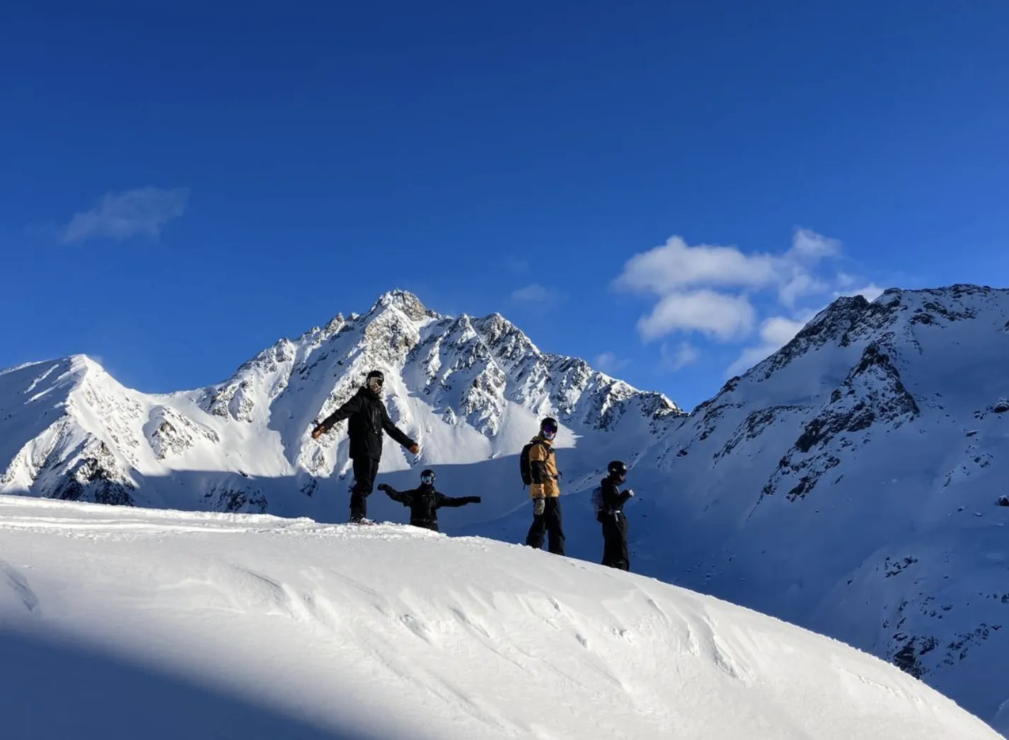
Luuk van der Poel and Ziggy Triou, two snowboarders from the Netherlands, build BEYOND.
Our story
We started riding off-piste around 2022 and planned our days on FATMAP. When Strava shut it down in October 2024 nothing took its place, so at the end of 2024 we started building a map for ourselves. At the end of 2025 it became serious. BEYOND is that map, opened up: the Alps in 3D with lifts, slope angle, the bulletin on the slopes and your own routes, free, in the browser. We want it to be the map riders use to plan, save and share their routes in the Alps.
The founders
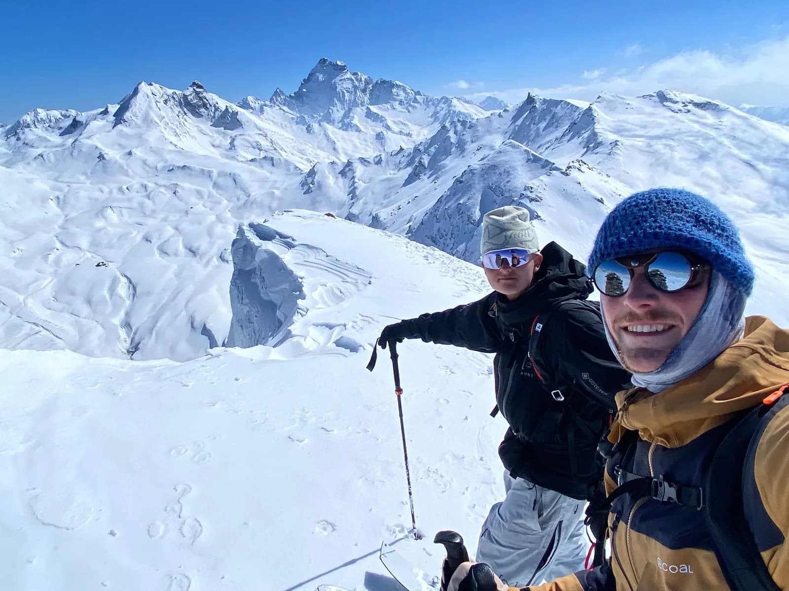
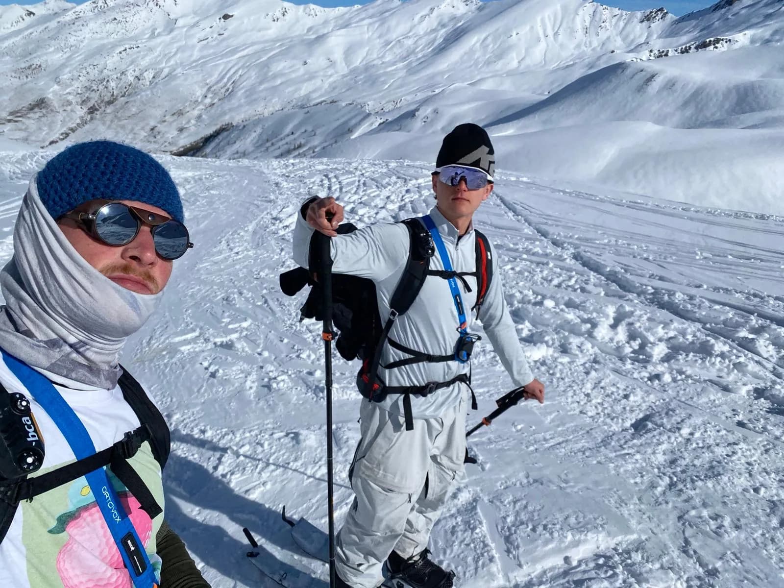
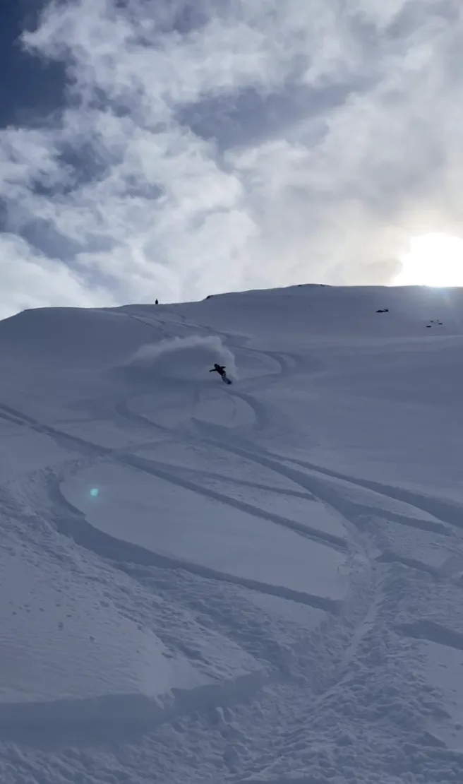
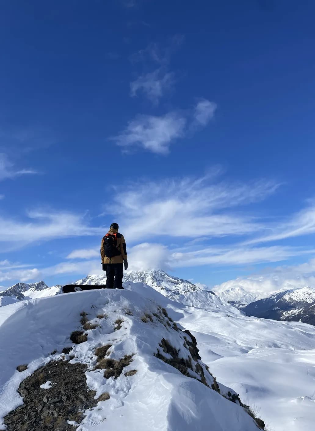
Ziggy Triou and Luuk van der Poel are the founders of BEYOND. Ziggy handles the technical side and builds the platform: a mechanical engineer from TU Eindhoven with a master's in fluid dynamics, a year on the InMotion student team, and now also a battery-modelling startup. Luuk does product and marketing: economics at Erasmus University Rotterdam with a master's in marketing, an EQ solution for schools and a web design and marketing agency behind him, and now also an AI tutor for children. Both are certified snowboarding instructors with years of backcountry experience. We live in the Netherlands and go to the Alps several times a year. Our avalanche data comes from the official warning services: in the map from all European services, on this website's bulletin pages from SLF, avalanche.report and Météo-France. We show their assessments, not our own.
What we build
BEYOND Maps is a free 3D map of the Alps for off-piste skiing, snowboarding and ski touring, in the browser. It shows lifts and pistes, slope angle, aspect and sun and shadow on 3D terrain, with today's and tomorrow's avalanche danger from the European warning services drawn on the slopes. You can draw routes, get tour times, run a SLABS avalanche-terrain analysis for an area, and download the area you ride as a 3D model or HTML page, so the 3D map is in your pocket without a connection. The website adds bulletin pages per region for Switzerland, Tyrol and France. Free account, nothing to install.
3D terrain
The Alps from Nice to Salzburg as 3D terrain in your browser, 10 m with 2 m on demand, with lifts and pistes and your own routes on top.
The platformAvalanche bulletins
Today's and tomorrow's danger from the European warning services drawn on the slopes in the map, and bulletin pages per region for Switzerland, Tyrol and France on this website.
BulletinsSlope angle and SLABS
Slope angle in colour classes from 25° to over 45°, aspect, sun and shadow, and a SLABS avalanche terrain analysis for any area, on the 3D terrain.
The platformWhat's next
Right now you can look at 3D terrain, check slope angle, aspect and today's avalanche danger, draw routes, import and export GPX, run a SLABS analysis and download an area as a 3D model for your phone. Next: routes saved to your account and shared with friends, a place to learn on the map, and a community page.
BEYOND is in early access and free to use. The roadmap is on the platform page. Missing a layer or an area? Tell us in the feedback form.
How we work
Official sources
Avalanche data comes from the official warning services: all European services in the map; SLF, avalanche.report and Météo-France on the bulletin pages here. We show their assessment, not our own, and link to the original.
Credited methods
The SLABS avalanche terrain analysis uses the method published by Skitourenguru (Degraeuwe, Schmudlach, Winkler, Köhler 2024). It estimates where a skier is more likely to trigger a slab; it has no runout model.
Open about limits
The map shows terrain and the official danger level. It can't see today's wind slabs, the snowpack under your skis or the group you are with.
We use it ourselves
We plan our own days in the Alps on BEYOND and build what we miss.
Partners
Our first partner is Alpine Progression, a Dutch organisation that runs ski and snowboard trips for experienced riders.
We are open to more partners: ski travel organisations, brands and resorts. Talk to us at luuk@beyondmaps.app.