Slope angle on every face
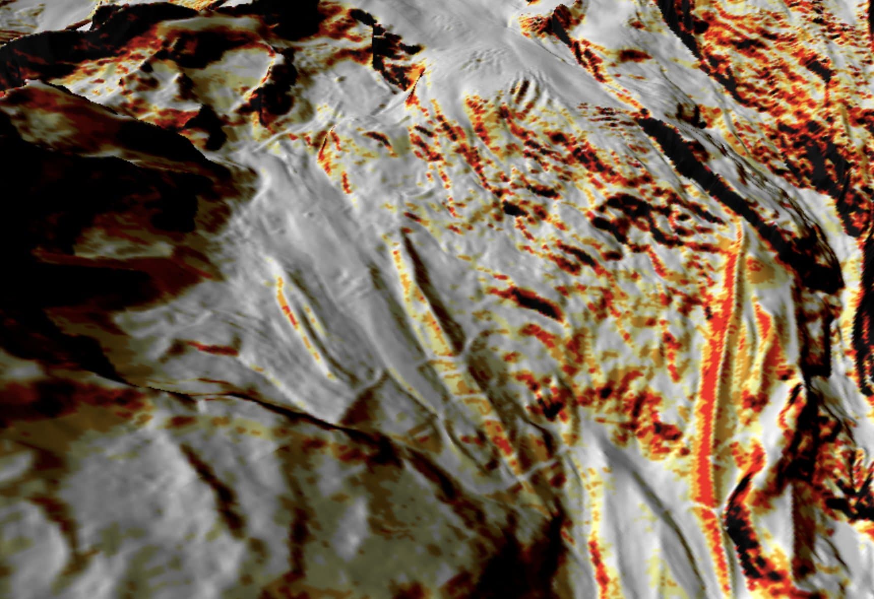
The slope angle layer colours the terrain from 25° to over 45°, so you can see where a face steepens, where it rolls over and how steep the exit is.

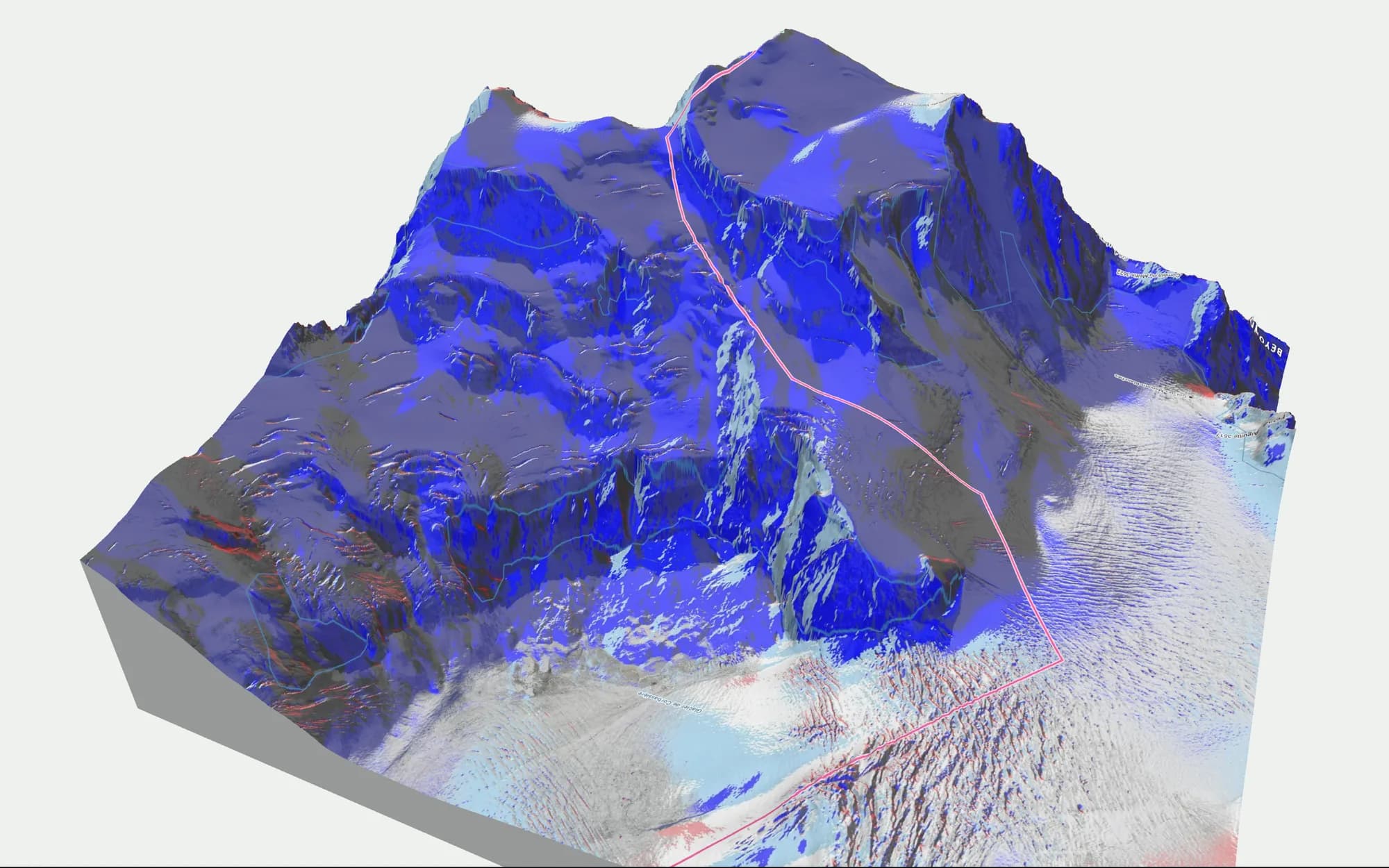
See where a line starts, how steep it gets and where it comes out: at a lift, on a piste or down by the road. Off-piste terrain in 3D with lifts and pistes, slope angle, aspect, sun and shadow, and today's avalanche danger from the warning services drawn on the slopes.
An off-piste line has to fit the day. A north face at 38° can hold cold snow long after a storm while a south face at the same angle is sun-affected by noon, and the bulletin may name one aspect and not the other. To pick a line you need slope angle, aspect and elevation together, next to the bulletin for the region.
The slope angle layer colours the terrain from 25° to over 45°, so you can see where a face steepens, where it rolls over and how steep the exit is.
Today's danger from the warning services is drawn on the slopes (avalanche danger map). Click a point to read the full bulletin there, and read the original at the source before you go.
Today's avalanche bulletinsThe aspect layer shows which way every slope faces, and the sun tool shows which faces are lit at the hour you plan to drop in. In 3D you also see where the terrain funnels into a gully or flattens out, which a piste map hides.
Search the village or the peak above the face you want to ride.
Turn on slope angle and aspect and follow the line down to where it comes out.
Switch to today's avalanche danger and see which aspects and elevations on the face it names.
BEYOND is built by Luuk van der Poel and Ziggy Triou, two backcountry snowboarders. It started as the map they wanted for their own days in the Alps after FATMAP shut down.
About the foundersThe map is free and runs in your browser; it asks you to create a free account, and there is nothing to install. The bulletin pages on this site need no account.