3D terrain
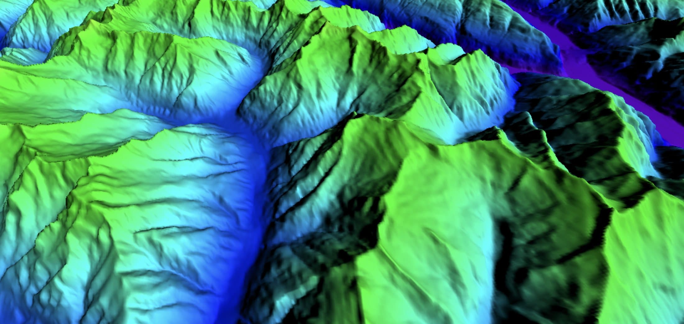
The Alps as 3D terrain, so ridges, gullies, convex rolls and the shape of a slope are visible before you start skinning. Switch between the winter relief base map, with its snow-line slider, and the elevation layer.

Draw the skin track and the descent on 3D terrain; the map gives tour times, the steepest section and the SLABS risk along the line, with today's avalanche danger drawn on the slopes.
A ski tour has two parts to plan. On the way up you want a skin track at an angle you can hold, with room for kick turns. On the way down you want terrain that fits today's bulletin: the danger level, the elevations and aspects it names, and the avalanche problems. In 3D you see both on the same slope, together with the changes in steepness and the run-out below.
The Alps as 3D terrain, so ridges, gullies, convex rolls and the shape of a slope are visible before you start skinning. Switch between the winter relief base map, with its snow-line slider, and the elevation layer.
Today's danger from the warning services is drawn on the slopes (avalanche danger map). Click a point for the full bulletin there. This website adds bulletin pages per region for Switzerland, Tyrol and France.
Today's avalanche bulletinsDraw the route or import a GPX. The map gives distance, ascent and descent, the steepest section and an elevation profile coloured by slope, tour times after DIN 33466 with your own pace, and the SLABS risk along the line. Download the area with the route to take it with you, or export the route as GPX.
Splitboard route planning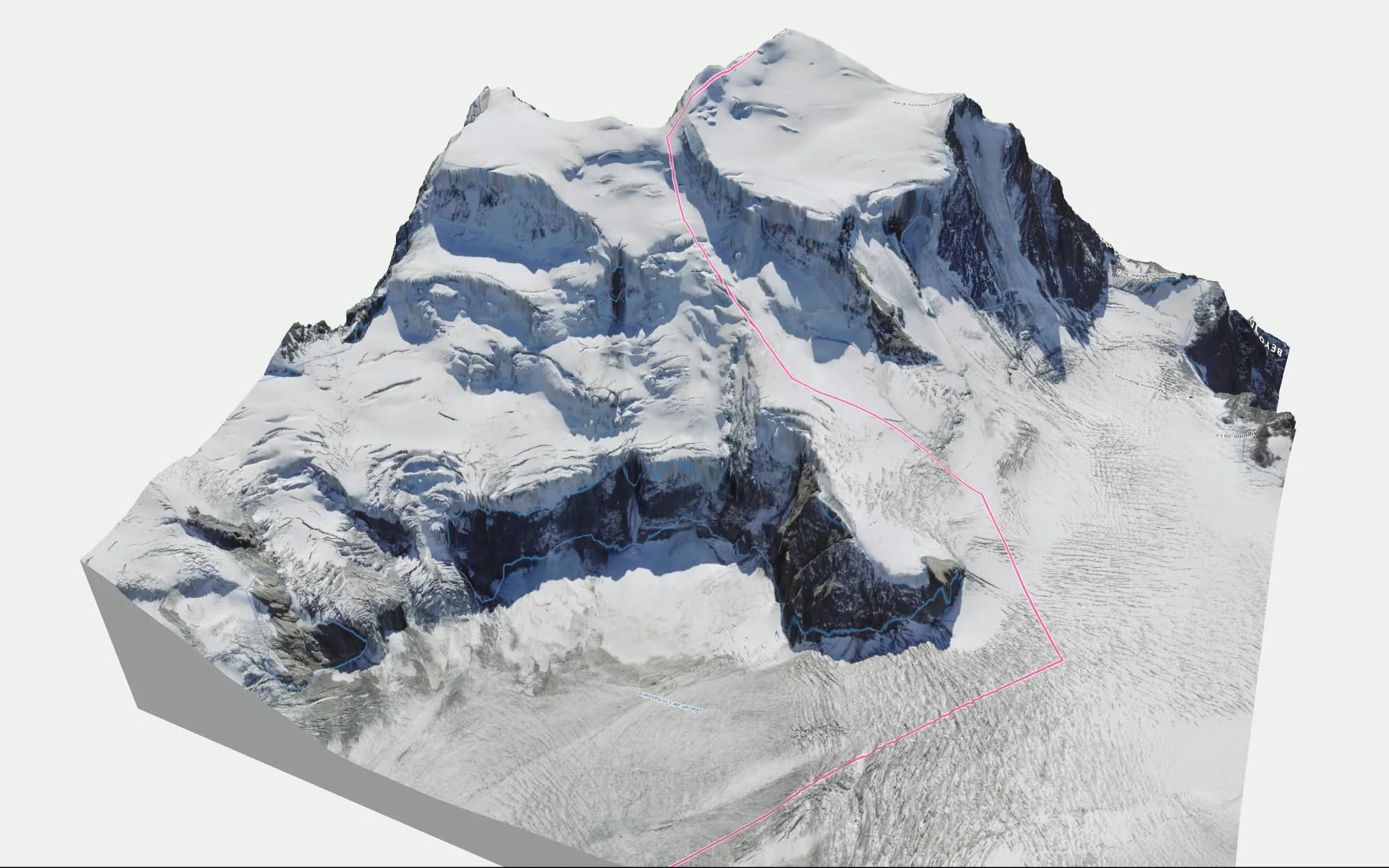
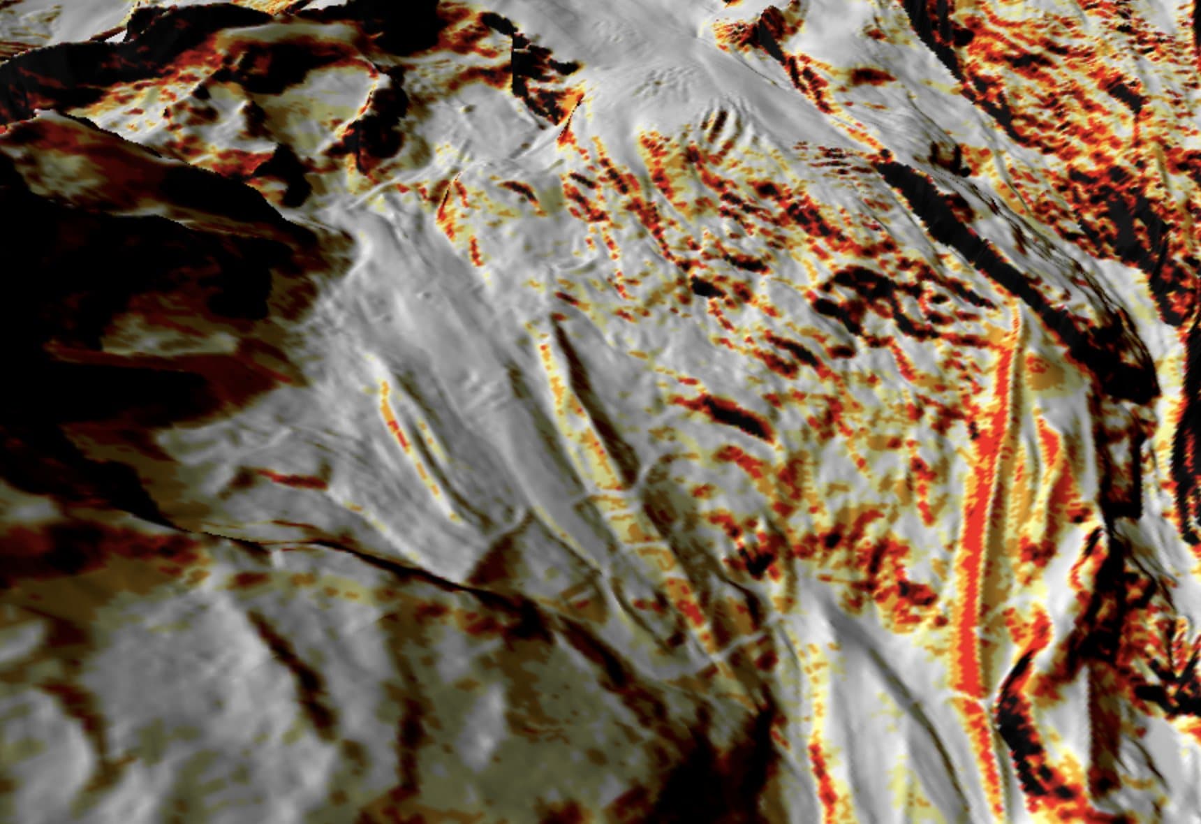
The slope angle layer colours the terrain by steepness, from 25° to over 45°, computed from 10 m terrain for Switzerland, Austria, France and Italy, 2 m on demand in Switzerland, Austria and France, 30 m in the gaps. Most slab avalanches release on slopes steeper than 30°, so this is the first layer to check along a tour. See the slope angle map.
Search the peak, hut, pass or village and the map jumps there.
Turn on slope angle, aspect and the avalanche danger, then draw your route.
Read the tour times, the steepest section and the SLABS risk along the route.
BEYOND is built by Luuk van der Poel and Ziggy Triou, two backcountry snowboarders. It started as the map they wanted for their own days in the Alps after FATMAP shut down.
About the foundersThe map is free and runs in your browser; it asks you to create a free account, and there is nothing to install. The bulletin pages on this site need no account.